Forest restoration—a key natural climate solution in the American west—is increasingly being deployed by state and federal agencies to reduce wildfire risk, enhance habitat quality & increase water quality and quantity. The US Forest Service and many states have adopted ambitious annual goals for restoration treatments applied to their forest lands, in some cases ten-times the current annual rates of implementation. But this dramatic increase in funding for these forest restoration goals hasn’t been accompanied by funding for project monitoring.
Restoration projects are generally poorly characterized: they’re not systematically evaluated, and data collection is often incomplete or imprecise. Similarly, land managers who oversee forest restoration projects performed by contractors have limited insight into whether the desired outcomes were achieved, often relying on spot checks after work has been completed. The lack of a comprehensive approach to mapping and monitoring forest restoration impedes the evaluation of treatment effectiveness and prevents full assessment of forest practice rules compliance.

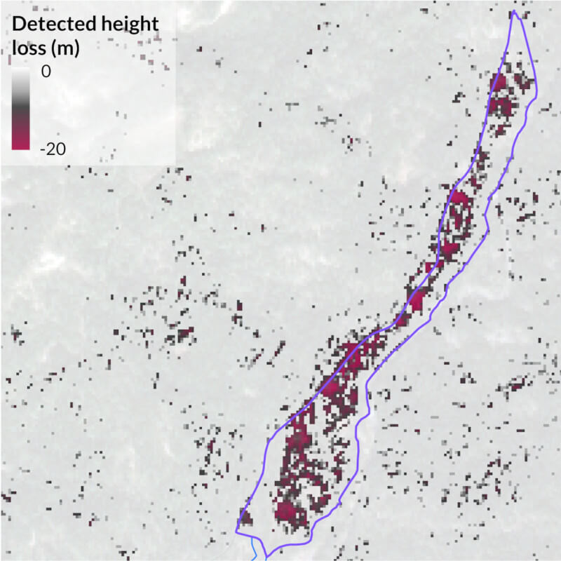
We’re working with The Nature Conservancy to develop a monitoring strategy based on analyzing satellite imagery before, during & after projects to quantify progress towards restoration goals. It’s starting in French Meadows, in the western Sierras, as part of the multi-stakeholder Tahoe Central Sierra Initiative (TCSI). Our first goal is to discover whether moderate-to-high resolution satellite imagery can consistently track the ecological effects of prescribed thinning and burning, which often consists of the removal of individual trees. Next is to determine if it scales.
With prescribed thinning and burning as key strategies for mitigating wildfire risk and improving forest health, the conservation community needs to develop measurement and monitoring tools to understand the true impacts of increasing pace and scale of restoration to natural and human systems.
To begin monitoring your forest, get in touch.