Spend less time gathering data and more time mitigating risk with high-resolution, up-to-date data on fuels, weather, hazard & exposure. All in one place.
Mapping Fuels, Hazard, Exposure & Risk
Click an icon to learn more
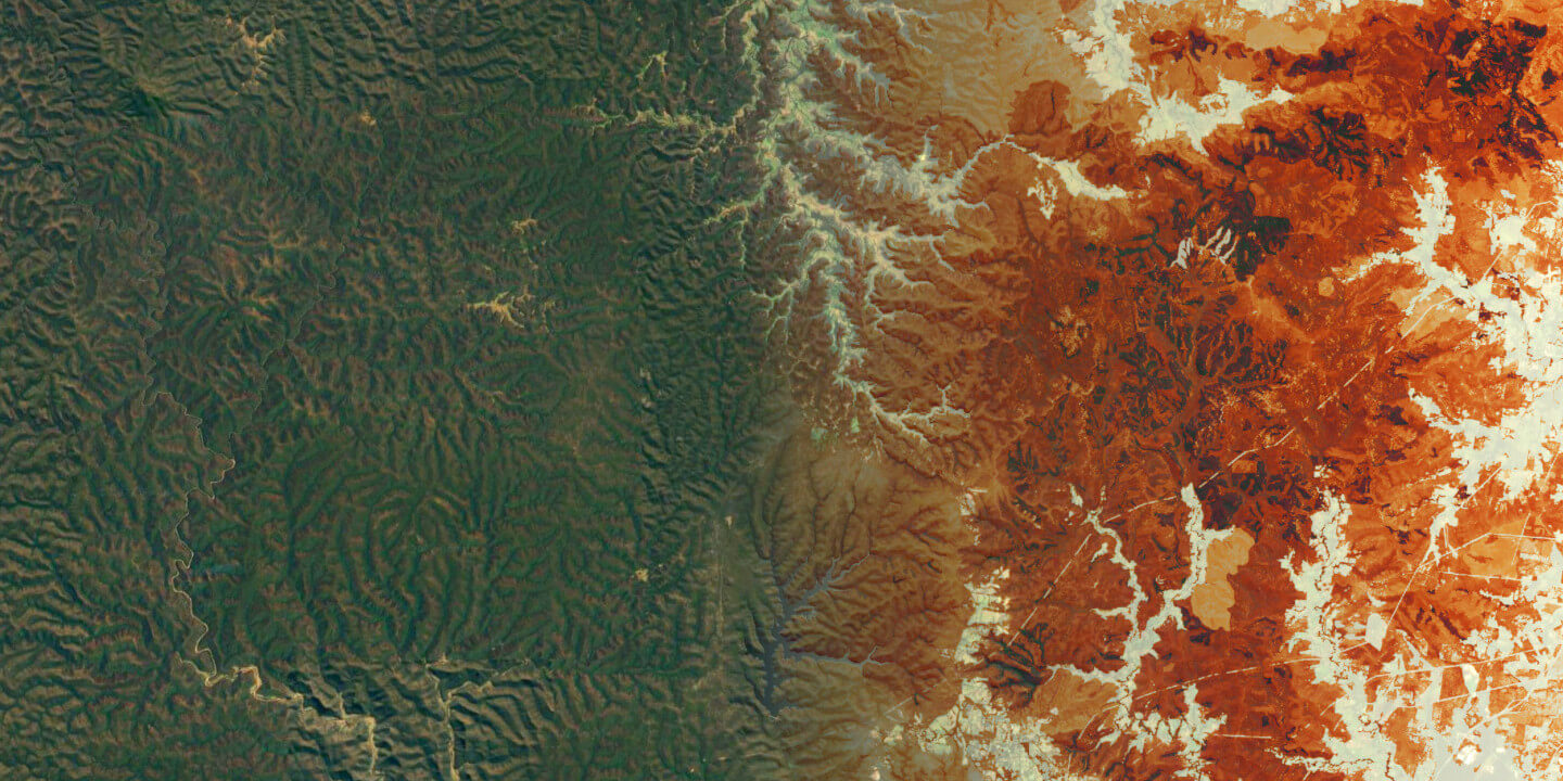
Get precision insights into fuels and wildfire risk with Salo Sciences wildfire data products
Working in the Most Fire-prone Landscapes
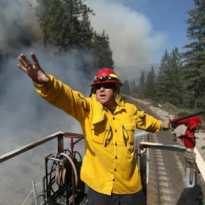 Using satellites and AI, space-based technology is shaping the future of firefighting
July 24th, 2021
NBC News
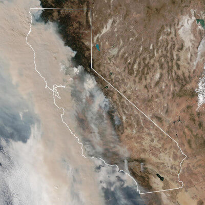 Wildfires Are Close to Torching the Insurance Industry in California
November 10th, 2020
Bloomberg Businessweek
Trusted By Leading Agencies & Organizations
Additional Resources
- Wildfire hazard data webinar (YouTube)
- Wildfire hazard data overview (PDF)
- Wildfire hazard data case study (PDF)
- EigenRisk partnership announcement (EigenRisk)
