Apr 15, 2020
by Christopher Anderson
We’re excited to share a series of documents that the California Forest Observatory team has put together as we’ve embarked on our journey to build this platform.
At the outset of this project we knew little about wildfire. We knew even less about how the community responsible for planning, managing & mitigating wildfire used data or technology.
Getting to know the people
We set out to survey this community to better understand the tools they used, the pain points they felt, the blue sky visions they had for the next generation of wildfire technologies & how they wanted us to develop the California Forest Observatory to support their visions.
We interviewed stakeholders across the wildfire science community, including experts in land management, emergency services, forest ecology, wildfire, meteorology, hydrology & wildlife biology.
Much of this work was led by Allison Wolff from Vibrant Planet, Kevin Farnham from Mirra & Scott Conway from Conway Conservation. They conducted over 70 interviews in a five month period to thoroughly characterize the perspectives and needs of the wildfire response community in California. We then took hundreds of pages of their notes and quotes to create a synthesis document: The Forest Observatory Ethnography Synthesis.

Getting to know the technology
During the interview process, the team noted all of the different technologies used by this community—datasets, software tools, workflows—and organized them into a data reference document to identify opportunities to integrate Observatory products into existing workflows.
As the process continued, we found ourselves in a tangled web of acronyms. Not only were we confusing software tools like WFDS with WFDSS and WFAS, we were forgetting whether these were tools used by FRAP, FFS or FIA.
So we expanded the scope of our data reference to include an extensive set of wildfire-related resources: organization, agencies & programs; tools, technologies & resources; programs, governance & standards; and a glossary. This is the Forest Observatory Reference Library.
Building a forest monitoring system
During this process we regularly heard about the need for better, up-to-date data on the environmental and anthropogenic drivers of wildfire behavior. This includes better data on vegetation fuels, weather & built infrastructure.
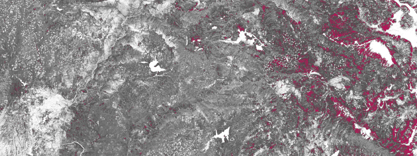
The first product we’re releasing with the Forest Observatory is a series of California-wide vegetation fuels maps derived from satellite data. These include: ladder fuel density, which describes the amount of understory vegetation; canopy height, which tracks the amount of vertically combustible biomass; and canopy base height, the distance between the ground and the lowest combustible branches. These data conform to the LANDFIRE canopy fuels classes.
These data are designed to plug-and-play with contemporary fire behavior models, enabling precision wildfire spread predictions. And thanks to our partnership with Planet and access to their PlanetScope imagery, the quality and the detail of these data are unprecedented. We describe the forest structure fuel metrics in the Forest Observatory Data Description.
All Forest Observatory data will be made freely available for public access with limited commercial restrictions starting this summer. Until then, we invite you to peruse and share these documents.