Our current projects include mapping wildfire risk, tree mortality, restoration activity & critical species habitat across California. We’re scaling our efforts beyond the state—contact us to learn how we can help map your environment.
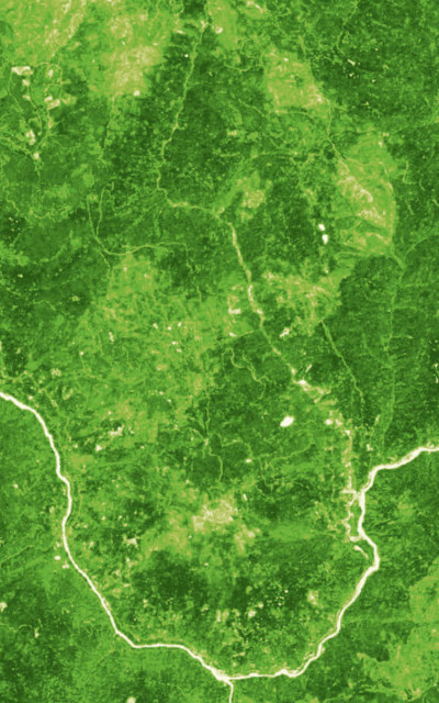
California Forest Observatory
A dynamic, data-driven platform to inform wildfire risk, emergency operations, and forest management decisions
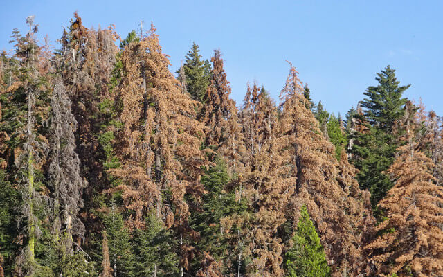
Tree Mortality Mapping
Sustainable harvesting practices and reduction in wildfire hazards through better mapping techniques and monitoring

Forest Restoration Monitoring
Tracking progress and providing feedback for forest thinning and prescribed burn projects

Species Mapping
Guiding protection of endangered species and the forests that support them